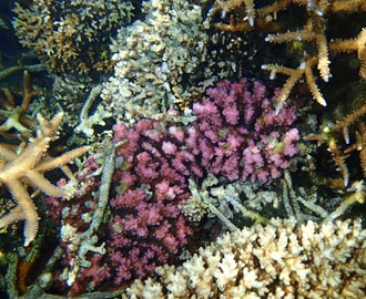
Ocean Portal
The Ocean Portal allows you to display ocean information on maps and graphs. You can view information such as sea surface temperatures, subsurface temperatures, salinity, current direction, sea level and tidal gauge data.
Skip to main content (press enter)

The Ocean Portal allows you to display ocean information on maps and graphs. You can view information such as sea surface temperatures, subsurface temperatures, salinity, current direction, sea level and tidal gauge data.

Seasonal Climate Outlooks in Pacific Island Countries (SCOPIC) is a decision support tool which generates seasonal outlooks for rainfall, temperature, or other climate-related factors.
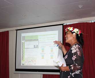
The Online Climate Outlook Forum (OCOF) provides a regular opportunity for Pacific Island Meteorological Services to discuss the status of the El Niño Southern Oscillation and to share their seasonal climate outlooks.
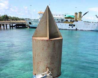
Tide gauges across the Pacific Ocean provide data which is used to generate annual tidal predictions, an accurate long-term sea level record for the Pacific region, and information about the variability of extreme tidal events in the Pacific.

This trial model combines key elements of Samoa's seasonal rainfall outlook with projected energy generation to provide an outlook for water storage.

This pilot project analyses Solomon Islands' rainfall data and broadscale climate patterns to establish a climate-based malaria risk index.
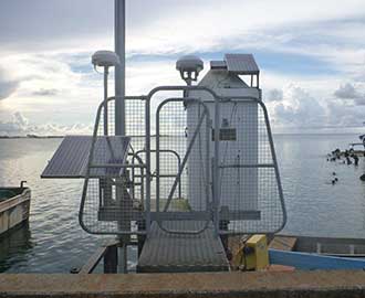
Tide gauges across the Pacific Ocean provide data which is used to generate annual tidal predictions, an accurate long-term sea level record for the Pacific region, and information about the variability of extreme tidal events in the Pacific.
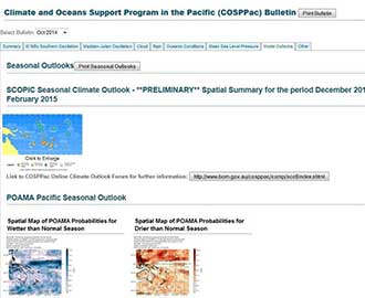
The Bulletin delivers climate and ocean monitoring and prediction data relevant to the tropical southwest Pacific, including diagnostics of El Niño Southern Oscillation, the Madden–Julian Oscillation, ocean temperature, cloud and rainfall patterns; as well as tropical cyclone information and seasonal outlooks.